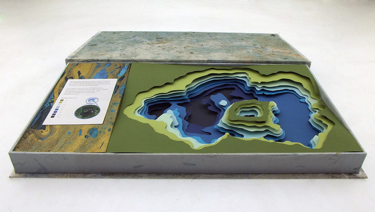
Taal Lake is part of a geographic wonder being a lake on and island in the Phillipenes, containing an island which contains a lake which containes it's own island which contains a small lake. I created this bathymetric map out of raised paper for Typography 3 at the California College of the Arts taught by Rob Hugel. The box containing the map is also handmade and is roughly 10"x22".